If you’re based in Southeast QLD or Northern NSW, you would have experienced the extreme heat over the weekend. Official records in some places are showing 33-35 degrees. However, we have seen temperatures upwards of 37 on the 31st of August and the 1st of September. Luckily, we will see the weather change in the next 24 hours as a cool change comes through. On the flip side, millions of Australians are bracing for severe weather across the southeast, leading to widespread disruptions. Tasmania, Victoria, and parts of New South Wales are the hardest hit, with evacuation orders in place and thousands of properties without power. Tasmania’s State Emergency Service (SES) is dealing with over 10,000 homes with power outages, while residents in high-risk areas are urged to evacuate immediately. In Victoria, winds equivalent to a category three cyclone have forced school closures and work-from-home directives. The SES has responded to thousands of assistance requests, with widespread damage reported. South Australia is also experiencing damaging winds and thunderstorms, with gusts up to 100km/h forecasted.
So, to summarise, it doesn’t matter where you sit in the supply chain (growing, picking, packing or selling); there are many challenges we are facing at the same time.
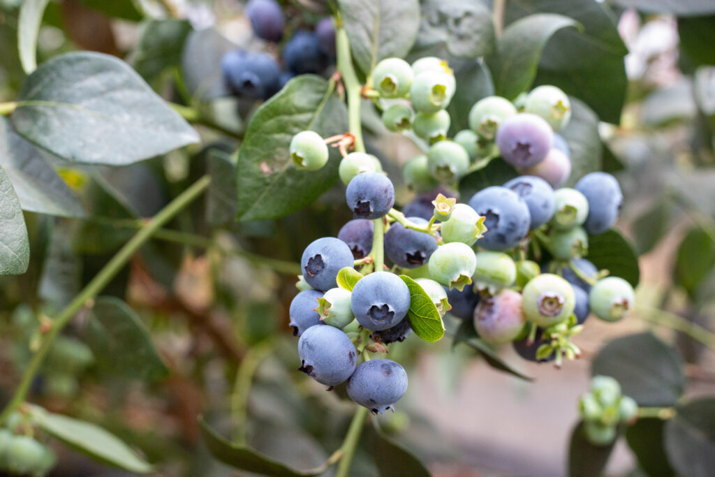
Blueberries: We will see VIC/TAS and QLD all change over to 170g this week, and we expect to have these punnets in circulation until after the rabbiteye season.
Far North QLD – Production continues to move sideways up North with the most desirable conditions across the East Coast. Quality continues to be of a high standard as we move into the back end of the production for FNQ crops. The weather for the next week looks good for harvesting, and we don’t expect any major changes from this region in the short term.
Coffs Coast – Whilst the conditions have been difficult over the backend of last week, we are expecting the cooler weather to come through tonight until Friday, when we will see temps rise back up to a maximum of 26 and low teens for minimum temperatures.
WA – Volumes are on the increase, and we are seeing more Southern production start, albeit in minimal quantities. The weather forecast in the North of Perth continues to be sporadic in terms of maximums and minimums. In the south, conditions are much cooler, with maximums rarely getting above 20 degrees but the minimums staying in single digits for the next two weeks.
Strawberries – Farms are finally through the weather-affected crop, and we seem to be at the top of the season with prices and volumes over the next few weeks on the East Coast. Some growers have cited that they are not expecting too much more from their winter crop; however, their summer crops (in the Stanthorpe region) will start producing in October. Quality across the board has dramatically improved in the last seven days.
Raspberries and Blackberries – We have seen a little more production of Raspberries week on week, but we also recognise that it’s off a very low base. We expect some more production over the next few weeks, and we are also seeing volume expected to start from the Coffs Coast region next month as well. Blackberries are up vs last year, but have significantly reduced week on week. As we have noted every week, major fluctuations off very small volumes can occur when you’re at the bottom of the season for production.